2011
TR1434 : Hythe, Palmarsh Footbridge
taken 13 years ago, near to West Hythe, Kent, England
This is 1 of 2 images, with title Hythe, Palmarsh Footbridge in this square
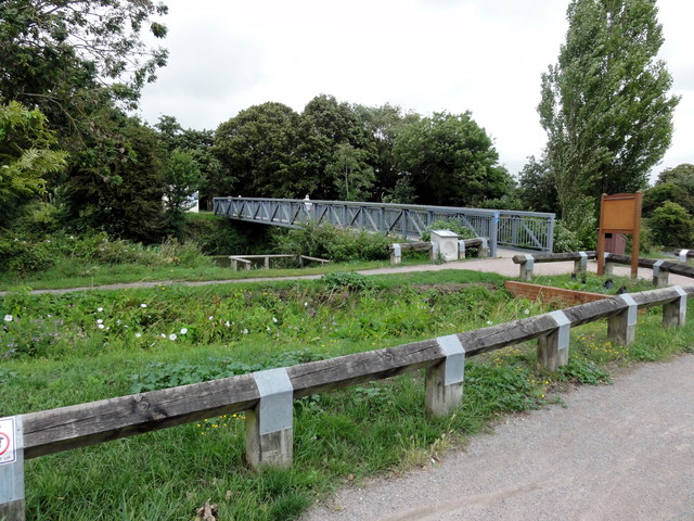
Hythe, Palmarsh Footbridge
Hythe, Royal Military Canal, Palmarsh Footbridge.
The Royal Military Canal is a canal running for 28 miles between Seabrook near Folkestone and Cliff End near Hastings, following the old cliff line bordering Romney Marsh.
The Royal Military Canal is a canal running for 28 miles between Seabrook near Folkestone and Cliff End near Hastings, following the old cliff line bordering Romney Marsh.
 Map © Crown Copyright")
TIP: Click the map for more Large scale mapping
- Grid Square
- TR1434, 131 images (more nearby 🔍)
- Photographer
- Helmut Zozmann (more nearby)
- Date Taken
- Monday, 18 July, 2011 (more nearby)
- Submitted
- Thursday, 1 September, 2011
- Subject Location
-
OSGB36:
 TR 1400 3403 [10m precision]
WGS84: 51:3.9419N 1:3.1743E - Camera Location
-
OSGB36: TR 1397 3401
- View Direction
- Northeast (about 45 degrees)