2011
TQ3273 : Steps on Knight's Hill
taken 13 years ago, near to Dulwich, Southwark, England
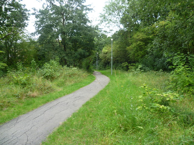
Steps on Knight's Hill
Knight's Hill remained undeveloped until the Peabody Trust extended their Rosendale Road estate during the 1970s by building a series of residential blocks on the very top. The land had long been owned by the Knight family, but was bought in sections by the American banker and philanthropist George Peabody during the late 19th century. The original estate was built at this time. The railway line between North Dulwich and Tulse Hill dating from 1868 passes through a tunnel under the hill. Knight's Hill is also sometimes known as Peabody Hill to avoid confusion with the Knights Hill at West Norwood. The steps here lead down to the Peabody Estate and Rosendale Road.
 Map © Crown Copyright")
TIP: Click the map for more Large scale mapping
- Grid Square
- TQ3273, 183 images (more nearby 🔍)
- Photographer
- Marathon (more nearby)
- Date Taken
- Wednesday, 31 August, 2011 (more nearby)
- Submitted
- Friday, 2 September, 2011
- Subject Location
-
OSGB36:
 TQ 3203 7352 [10m precision]
WGS84: 51:26.7173N 0:6.0925W - Camera Location
-
OSGB36: TQ 3201 7348
- View Direction
- North-northeast (about 22 degrees)