2011
TF6639 : Drainage outfall near Hunstanton
taken 13 years ago, near to Hunstanton, Norfolk, England
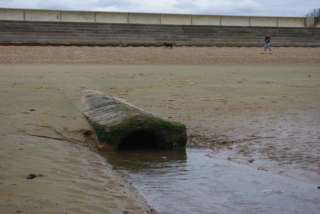
Drainage outfall near Hunstanton
Looking at the map, there's a drain a little way inland that seems to line up with this outfall.
 Map © Crown Copyright")
TIP: Click the map for more Large scale mapping
- Grid Square
- TF6639, 62 images (more nearby 🔍)
- Photographer
- Ben Harris (more nearby)
- Date Taken
- Wednesday, 31 August, 2011 (more nearby)
- Submitted
- Saturday, 3 September, 2011
- Subject Location
-
OSGB36:
 TF 666 397 [100m precision]
WGS84: 52:55.7739N 0:28.6639E - Camera Location
-
OSGB36: TF 666 397
- View Direction
- Southeast (about 135 degrees)