2011
NZ3349 : River level recorder near Houghton-le-Spring
taken 13 years ago, near to Houghton-le-Spring, Sunderland, England
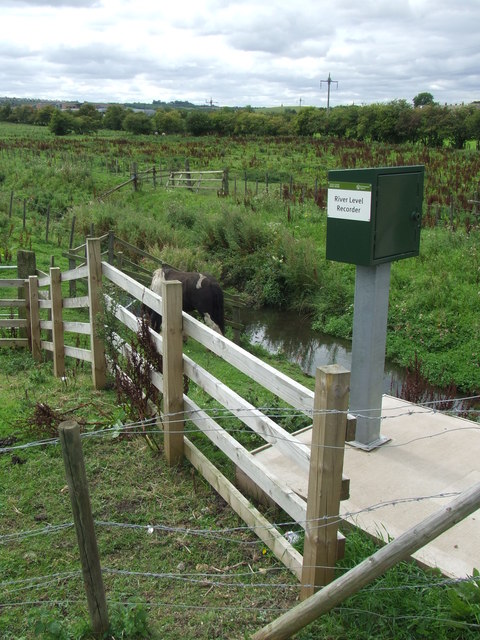
River level recorder near Houghton-le-Spring
A recording device measuring the water level of Moors Burn, a small river which is a tributary of the River Wear.
 Map © Crown Copyright")
TIP: Click the map for more Large scale mapping
- Grid Square
- NZ3349, 14 images (more nearby 🔍)
- Photographer
- Malc McDonald (more nearby)
- Date Taken
- Monday, 29 August, 2011 (more nearby)
- Submitted
- Saturday, 3 September, 2011
- Subject Location
-
OSGB36:
 NZ 3305 4984 [10m precision]
WGS84: 54:50.5374N 1:29.2137W - Camera Location
-
OSGB36: NZ 3305 4984
- View Direction
- South-southwest (about 202 degrees)