2011
NO0413 : Boghall Hill
taken 13 years ago, 3 km from Dunning, Perth And Kinross, Scotland
This is 1 of 2 images, with title Boghall Hill in this square
Boghall Hill
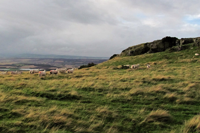
An escarpment near the summit of Boghall Hill. An ancient field system comprised of banks and an enclosure system has recently been identified in this area.
 Map © Crown Copyright")
TIP: Click the map for more Large scale mapping
- Grid Square
- NO0413, 7 images (more nearby 🔍)
- Photographer
- William Starkey (more nearby)
- Date Taken
- Tuesday, 6 September, 2011 (more nearby)
- Submitted
- Tuesday, 6 September, 2011
- Subject Location
-
OSGB36:
 NO 0443 1319 [10m precision]
WGS84: 56:18.0882N 3:32.7614W - Camera Location
-
OSGB36: NO 0440 1315
- View Direction
- Northeast (about 45 degrees)