2011
SK6837 : Farm track
taken 13 years ago, near to Cropwell Butler, Nottinghamshire, England
This is 1 of 5 images, with title starting with Farm in this square
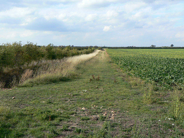
Farm track
This has been recently designated as a permissive footpath Link
Brackendale Farms, Bingham :: SK6939
The name is derived from the old medieval open field to the south west of Bingham, which was called Brackendale Field.
Until the 1950s OS maps, Top Brackendale Farm was unnamed, with lower Brackendale Farm being simply named Brackendale Farm. The farms were taken into the Crown Estate in 1925, and the Brackendale Farms have been tenanted by the Cockaynes since 1935.
The farms are now operated as a single unit, the basic crops being wheat, barley, oil-seed rape and sugar beet.
![Creative Commons Licence [Some Rights Reserved]](https://s1.geograph.org.uk/img/somerights20.gif)


TIP: Click the map for more Large scale mapping
- Grid Square
- SK6837, 70 images (more nearby 🔍)
- Photographer
- Alan Murray-Rust (more nearby)
- Date Taken
- Friday, 2 September, 2011 (more nearby)
- Submitted
- Wednesday, 7 September, 2011
- Subject Location
-
OSGB36:
 SK 6895 3722 [10m precision]
WGS84: 52:55.6782N 0:58.5453W - Camera Location
-
OSGB36: SK 6897 3719
- View Direction
- North-northwest (about 337 degrees)


