2011
SP2382 : Flooded sand and gravel quarry
taken 13 years ago, near to Meriden, Solihull, England
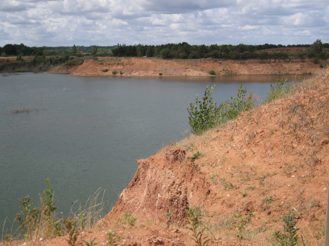
Flooded sand and gravel quarry
This vast pit appears more extensively worked than is shown on current aerial photos. Subject location is an estimate.
 Map © Crown Copyright")
TIP: Click the map for more Large scale mapping
- Grid Square
- SP2382, 73 images (more nearby 🔍)
- Photographer
- Robin Stott (more nearby)
- Date Taken
- Monday, 15 August, 2011 (more nearby)
- Submitted
- Wednesday, 7 September, 2011
- Subject Location
-
OSGB36:
 SP 231 824 [100m precision]
WGS84: 52:26.3452N 1:39.6969W - Camera Location
-
OSGB36: SP 2347 8245
- View Direction
- WEST (about 270 degrees)