2011
SD3575 : River Eea estuary at Sand Gate
taken 13 years ago, near to Ravenstown, Cumbria, England
This is 1 of 2 images, with title River Eea estuary at Sand Gate in this square
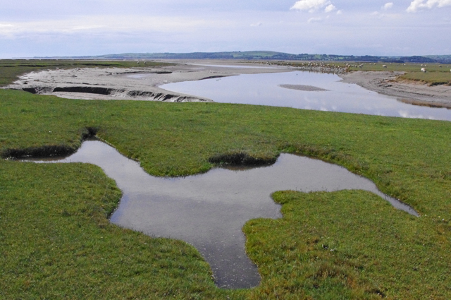
River Eea estuary at Sand Gate
The river reaches Cartmel Sands.
 Map © Crown Copyright")
TIP: Click the map for more Large scale mapping
- Grid Square
- SD3575, 42 images (more nearby 🔍)
- Photographer
- Ian Taylor (more nearby)
- Date Taken
- Sunday, 4 September, 2011 (more nearby)
- Submitted
- Wednesday, 7 September, 2011
- Subject Location
-
OSGB36:
 SD 3521 7562 [10m precision]
WGS84: 54:10.3358N 2:59.6399W - Camera Location
-
OSGB36: SD 3528 7561
- View Direction
- WEST (about 270 degrees)