2011
TQ8616 : Gate across the 1066 Country Walk
taken 13 years ago, near to Icklesham, East Sussex, England
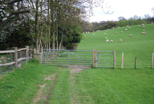
Gate across the 1066 Country Walk
1066 Country Walk is a 31 mile (50 kilometre) walk from Pevensey to Rye. You can follow in the steps of William the Conqueror taking in historical sites on a generally low level walk. The route includes the Normans' landing point at Pevensey, the battle site, and the castles at Pevensey and Herstmonceux.
There are links from the main route between Battle and Bexhill and between Doleham and Hastings. It is waymarked using red circles with a sword.
Website: Link
See other images of 1066 Country Walk
There are links from the main route between Battle and Bexhill and between Doleham and Hastings. It is waymarked using red circles with a sword.
Website: Link
See other images of 1066 Country Walk
 Map © Crown Copyright")
TIP: Click the map for more Large scale mapping
- Grid Square
- TQ8616, 70 images (more nearby 🔍)
- Photographer
- N Chadwick (more nearby)
- Date Taken
- Tuesday, 12 April, 2011 (more nearby)
- Submitted
- Thursday, 8 September, 2011
- Subject Location
-
OSGB36:
 TQ 8665 1688 [10m precision]
WGS84: 50:55.2712N 0:39.2540E - Camera Location
-
OSGB36: TQ 8662 1688
- View Direction
- EAST (about 90 degrees)