2011
SP4605 : Looking Over The Hedge
taken 13 years ago, near to Cumnor, Oxfordshire, England
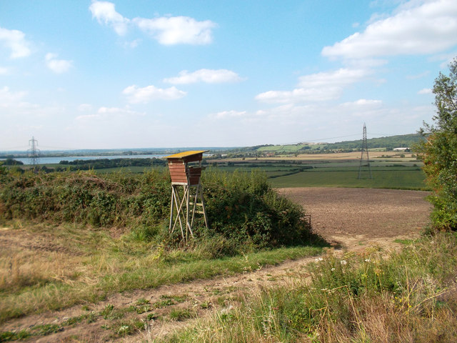
Looking Over The Hedge
I'm guessing this is a bird watching place. Farmoor reservoir over to the left.
The path is the Oxford Greenbelt Way.
The path is the Oxford Greenbelt Way.
 Map © Crown Copyright")
TIP: Click the map for more Large scale mapping
- Grid Square
- SP4605, 18 images (more nearby 🔍)
- Photographer
- Des Blenkinsopp (more nearby)
- Date Taken
- Thursday, 1 September, 2011 (more nearby)
- Submitted
- Thursday, 8 September, 2011
- Subject Location
-
OSGB36:
 SP 4607 0509 [10m precision]
WGS84: 51:44.5576N 1:20.0494W - Camera Location
-
OSGB36: SP 4609 0508
- View Direction
- Northwest (about 315 degrees)