2011
NX6564 : Ruined dyke in Laurieston Forest
taken 13 years ago, 3 km from Laurieston, Dumfries And Galloway, Scotland
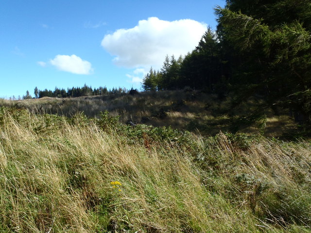
Ruined dyke in Laurieston Forest
 Map © Crown Copyright")
TIP: Click the map for more Large scale mapping
- Grid Square
- NX6564, 5 images (more nearby 🔍)
- Photographer
- Bob Peace (more nearby)
- Date Taken
- Thursday, 8 September, 2011 (more nearby)
- Submitted
- Thursday, 8 September, 2011
- Subject Location
-
OSGB36:
 NX 6509 6414 [10m precision]
WGS84: 54:57.2158N 4:6.4923W - Camera Location
-
OSGB36: NX 6506 6418
- View Direction
- Southeast (about 135 degrees)