2011
NG2244 : Summit plateau, Healabhal Mhòr
taken 13 years ago, 4 km S of Skinidin/Sgianaidin, Isle of Skye, Scotland
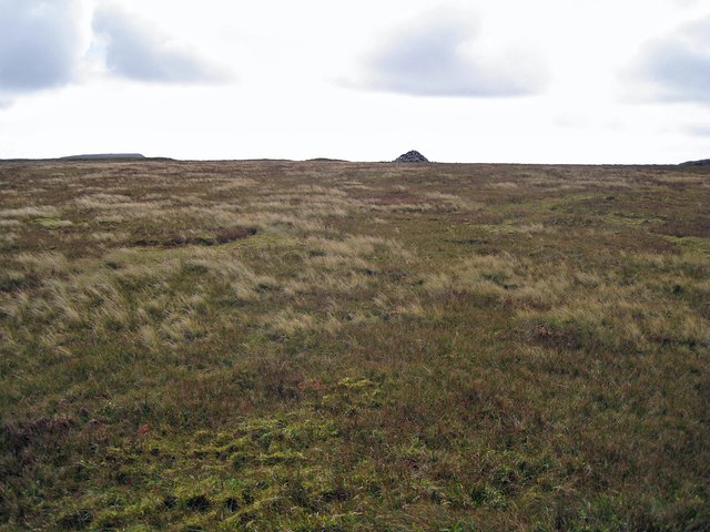
Summit plateau, Healabhal Mhòr
A cairn stands close to the actual summit of this steep sided, bog-topped hill.
 Map © Crown Copyright")
TIP: Click the map for more Large scale mapping
- Grid Square
- NG2244, 21 images (more nearby 🔍)
- Photographer
- Richard Dorrell (more nearby)
- Date Taken
- Thursday, 8 September, 2011 (more nearby)
- Submitted
- Friday, 9 September, 2011
- Subject Location
-
OSGB36:
 NG 2200 4451 [10m precision]
WGS84: 57:24.3415N 6:37.8230W - Camera Location
-
OSGB36: NG 22007 44583
- View Direction
- SOUTH (about 180 degrees)