2011
TF8707 : Harvested field east of Brown's Lane, Holme Hale
taken 13 years ago, near to Holme Hale, Norfolk, England
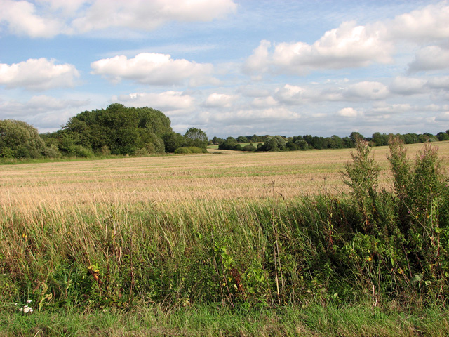
Harvested field east of Brown's Lane, Holme Hale
 Map © Crown Copyright")
TIP: Click the map for more Large scale mapping
- Grid Square
- TF8707, 35 images (more nearby 🔍)
- Photographer
- Evelyn Simak (more nearby)
- Date Taken
- Friday, 9 September, 2011 (more nearby)
- Submitted
- Friday, 9 September, 2011
- Subject Location
-
OSGB36:
 TF 8795 0748 [10m precision]
WGS84: 52:37.9511N 0:46.5515E - Camera Location
-
OSGB36: TF 8782 0750
- View Direction
- EAST (about 90 degrees)