2011
SE5909 : Floodbank, Thorpe Marsh
taken 13 years ago, near to Thorpe in Balne, Doncaster, England
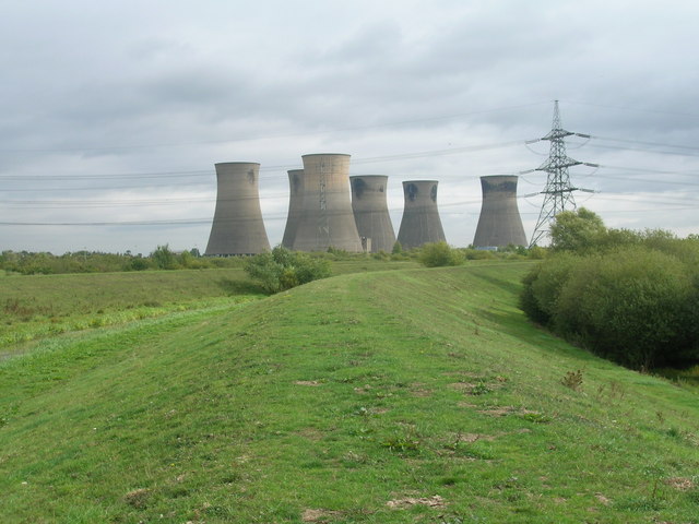
Floodbank, Thorpe Marsh
 Map © Crown Copyright")
TIP: Click the map for more Large scale mapping
- Grid Square
- SE5909, 21 images (more nearby 🔍)
- Photographer
- JThomas (more nearby)
- Date Taken
- Friday, 9 September, 2011 (more nearby)
- Submitted
- Friday, 9 September, 2011
- Subject Location
-
OSGB36:
 SE 5960 0906 [10m precision]
WGS84: 53:34.4858N 1:6.0840W - Camera Location
-
OSGB36: SE 59607 09068
- View Direction
- Northeast (about 45 degrees)