2011
NT3655 : Whitelaw Cleugh Burn shelter belt
taken 13 years ago, near to Middleton, Midlothian, Scotland
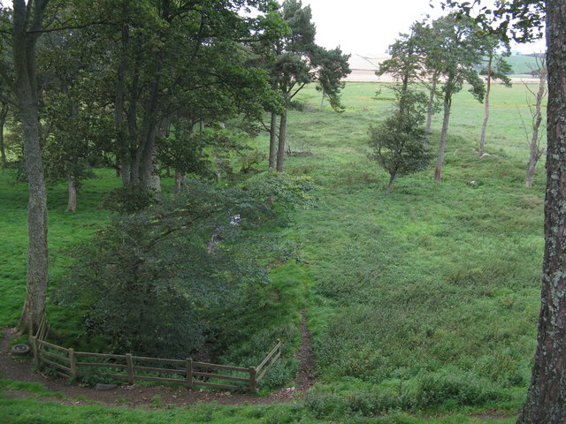
Whitelaw Cleugh Burn shelter belt
10 years later and Richard Webb was there, and a small patch of woodland had been planted NT3655 : Whitelaw Cleugh shelter belt.
 Map © Crown Copyright")
TIP: Click the map for more Large scale mapping
- Grid Square
- NT3655, 16 images (more nearby 🔍)
- Photographer
- M J Richardson (more nearby)
- Date Taken
- Friday, 9 September, 2011 (more nearby)
- Submitted
- Saturday, 10 September, 2011
- Subject Location
-
OSGB36:
 NT 3627 5577 [10m precision]
WGS84: 55:47.4607N 3:1.0753W - Camera Location
-
OSGB36: NT 3630 5567
- View Direction
- North-northwest (about 337 degrees)