2011
TM2648 : B1438 Station Road, Woodbridge
taken 13 years ago, near to Woodbridge, Suffolk, England
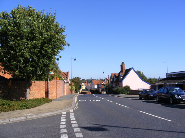
B1438 Station Road, Woodbridge
At the junction with Cumberland Street & B1438 Cumberland Street
 Map © Crown Copyright")
TIP: Click the map for more Large scale mapping
- Grid Square
- TM2648, 140 images (more nearby 🔍)
- Photographer
- Geographer (more nearby)
- Date Taken
- Monday, 12 September, 2011 (more nearby)
- Submitted
- Tuesday, 13 September, 2011
- Subject Location
-
OSGB36:
 TM 26996 48756 [1m precision]
WGS84: 52:5.4340N 1:18.7304E - Camera Location
-
OSGB36: TM 26974 48760
- View Direction
- EAST (about 90 degrees)