2011

TQ2781 : Edgware Rd (A5)

taken 13 years ago, near to Marylebone, Westminster, England

This is 1 of 2 images, with title Edgware Rd (A5) in this square
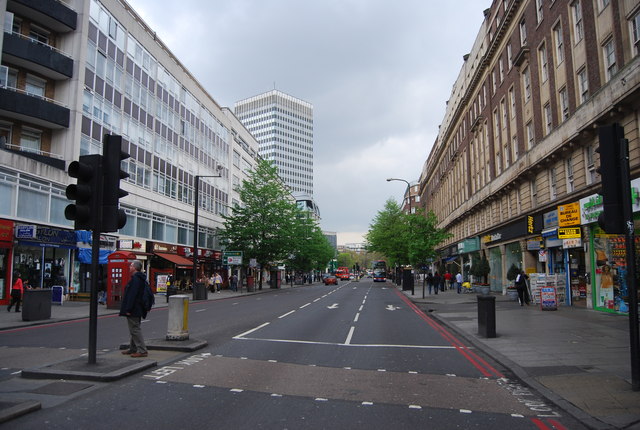
Edgware Rd (A5)
Edgware Rd (A5)
The A5 is a major trunk road that runs 260 miles from London to Holyhead. It follows the course of an old Roman Road (Watling Street).
Wikipedia: LinkExternal link

See other images of A5 Road

Creative Commons Licence [Some Rights Reserved]   © Copyright N Chadwick and licensed for reuse under this Creative Commons Licence.
This photo is linked from: Automatic Clusters: · Edgware Road [203] Title Clusters: · Edgware Rd (A5) [2] ·
1:50,000 Modern Day Landranger(TM) Map © Crown Copyright
+
+
1:50,000 Modern Day Landranger(TM) Map © Crown Copyright
TIP: Click the map for more Large scale mapping
Grid Square
TQ2781, 1726 images   (more nearby 🔍)
Photographer
N Chadwick   (more nearby)
Date Taken
Saturday, 16 April, 2011   (more nearby)
Submitted
Wednesday, 14 September, 2011
Subject Location
OSGB36: geotagged! TQ 2761 8111 [10m precision]
WGS84: 51:30.8706N 0:9.7421W
Camera Location
OSGB36: geotagged! TQ 2757 8114
View Direction
Southeast (about 135 degrees)
Clickable map
+
NW N NE
W Go E
SW S SE
Image classification(about): Geograph
This page has been viewed about 43 times
You are not logged in login | register