2011
TR2548 : Shepherdswell, East Kent Railway
taken 13 years ago, near to Shepherdswell or Sibertswold, Kent, England
This is 1 of 39 images, with title Shepherdswell, East Kent Railway in this square
Shepherdswell, East Kent Railway
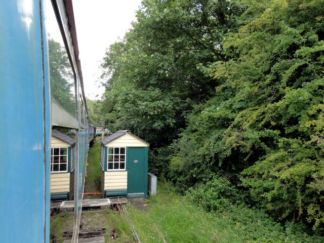
Shepherdswell, East Kent Railway (heritage) between Shepherdswell Railway Station and Eythorne Road level crossing.
 Map © Crown Copyright")
TIP: Click the map for more Large scale mapping
- Grid Square
- TR2548, 238 images (more nearby 🔍)
- Photographer
- Helmut Zozmann (more nearby)
- Date Taken
- Sunday, 24 July, 2011 (more nearby)
- Submitted
- Friday, 23 September, 2011
- Subject Location
-
OSGB36:
 TR 2590 4846 [10m precision]
WGS84: 51:11.4415N 1:13.8901E - Camera Location
-
OSGB36: TR 2588 4843
- View Direction
- North-northeast (about 22 degrees)