2011
ST3387 : Liswerry Pill Reen, Newport
taken 13 years ago, near to Newport/Casnewydd, Wales
This is 1 of 3 images, with title Liswerry Pill Reen, Newport in this square
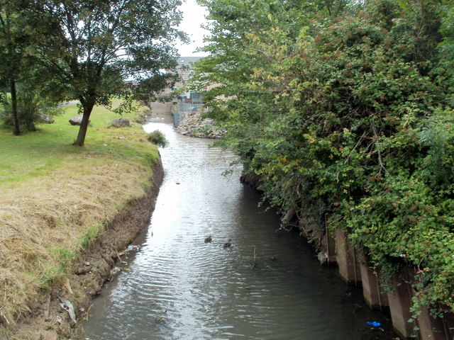
Liswerry Pill Reen, Newport
The reen (drainage channel) is here at the northern edge of a recreation ground.
The houses in the distance are at the southern edge of Downing Street.
The houses in the distance are at the southern edge of Downing Street.
 Map © Crown Copyright")
TIP: Click the map for more Large scale mapping
- Grid Square
- ST3387, 314 images (more nearby 🔍)
- Photographer
- Jaggery (more nearby)
- Date Taken
- Wednesday, 10 August, 2011 (more nearby)
- Submitted
- Saturday, 1 October, 2011
- Subject Location
-
OSGB36:
 ST 334 872 [100m precision]
WGS84: 51:34.7825N 2:57.7520W - Camera Location
-
OSGB36: ST 334 872
- View Direction
- WEST (about 270 degrees)