2011
SD8970 : Road above Darnbrook House
taken 13 years ago, 3 km from Arncliffe, North Yorkshire, England
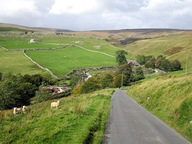
Road above Darnbrook House
 Map © Crown Copyright")
TIP: Click the map for more Large scale mapping
- Grid Square
- SD8970, 41 images (more nearby 🔍)
- Photographer
- Andrew Curtis (more nearby)
- Date Taken
- Thursday, 22 September, 2011 (more nearby)
- Submitted
- Saturday, 1 October, 2011
- Subject Location
-
OSGB36:
 SD 8995 7053 [10m precision]
WGS84: 54:7.8312N 2:9.3175W - Camera Location
-
OSGB36: SD 9000 7048
- View Direction
- Northwest (about 315 degrees)