2011
NS4929 : Pit Bing
taken 13 years ago, near to Crosshands, East Ayrshire, Scotland
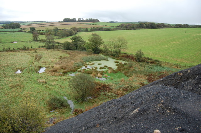
Pit Bing
Marshy ground, from the top of colliery bing.
 Map © Crown Copyright")
TIP: Click the map for more Large scale mapping
- Grid Square
- NS4929, 5 images (more nearby 🔍)
- Photographer
- Scott (more nearby)
- Date Taken
- Sunday, 9 October, 2011 (more nearby)
- Submitted
- Sunday, 9 October, 2011
- Subject Location
-
OSGB36:
 NS 498 298 [100m precision]
WGS84: 55:32.3467N 4:22.8308W - Camera Location
-
OSGB36: NS 498 298
- View Direction
- EAST (about 90 degrees)