2011
SX2553 : East Looe Bridge
taken 13 years ago, near to Looe, Cornwall, England
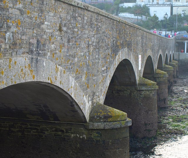
East Looe Bridge
Carrying the A387 over the Looe River, and dating from 1853 Link . This is the upstream side.
 Map © Crown Copyright")
TIP: Click the map for more Large scale mapping
- Grid Square
- SX2553, 702 images (more nearby 🔍)
- Photographer
- Derek Harper (more nearby)
- Date Taken
- Sunday, 2 October, 2011 (more nearby)
- Submitted
- Tuesday, 11 October, 2011
- Subject Location
-
OSGB36:
 SX 2541 5359 [10m precision]
WGS84: 50:21.3759N 4:27.3438W - Camera Location
-
OSGB36: SX 2543 5359
- View Direction
- WEST (about 270 degrees)