2011
TM3571 : Dunwich Lane, Heveningham
taken 13 years ago, near to Heveningham, Suffolk, England
This is 1 of 3 images, with title Dunwich Lane, Heveningham in this square
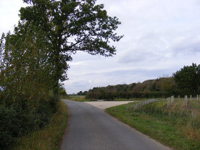
Dunwich Lane, Heveningham
At the junction of Watt's Roadway, Home Farm, Heveningham
Road No.C212
Road No.C212
 Map © Crown Copyright")
TIP: Click the map for more Large scale mapping
- Grid Square
- TM3571, 13 images (more nearby 🔍)
- Photographer
- Geographer (more nearby)
- Date Taken
- Monday, 17 October, 2011 (more nearby)
- Submitted
- Tuesday, 18 October, 2011
- Subject Location
-
OSGB36:
 TM 3556 7167 [10m precision]
WGS84: 52:17.5575N 1:27.1715E - Camera Location
-
OSGB36: TM 3556 7167
- View Direction
- West-southwest (about 247 degrees)