2006
TL1094 : Hop Spinney
taken 18 years ago, near to Chesterton, Cambridgeshire, England
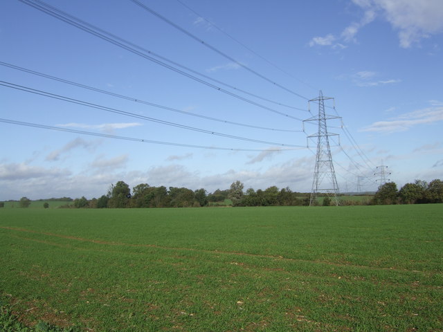
Hop Spinney
View from bridleway along pylon line to spinney.
 Map © Crown Copyright")
TIP: Click the map for more Large scale mapping
- Grid Square
- TL1094, 19 images (more nearby 🔍)
- Photographer
- Graham Burnett (more nearby)
- Date Taken
- Friday, 20 October, 2006 (more nearby)
- Submitted
- Monday, 23 October, 2006
- Subject Location
-
OSGB36:
 TL 108 949 [100m precision]
WGS84: 52:32.4416N 0:22.0617W - View Direction
- East-southeast (about 112 degrees)