2011
TQ3355 : Queen's Park Road, Caterham
taken 13 years ago, near to Caterham, Surrey, England
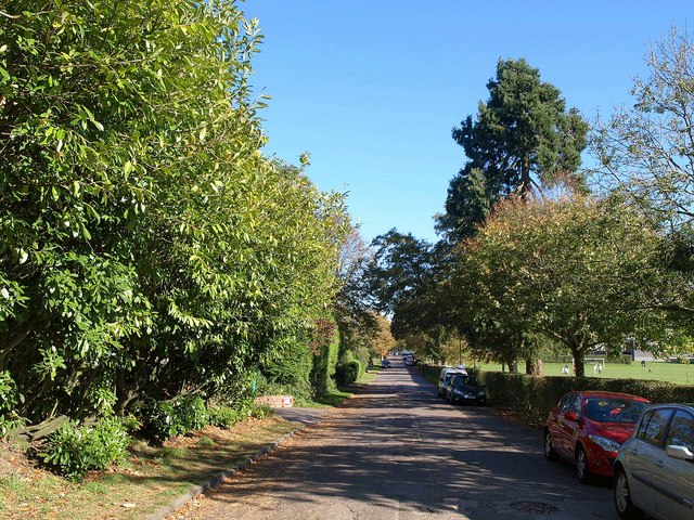
Queen's Park Road, Caterham
With Queen's Park on the right; seen from the point where footpath 67 crosses the road.
 Map © Crown Copyright")
TIP: Click the map for more Large scale mapping
- Grid Square
- TQ3355, 179 images (more nearby 🔍)
- Photographer
- Derek Harper (more nearby)
- Date Taken
- Saturday, 15 October, 2011 (more nearby)
- Submitted
- Sunday, 23 October, 2011
- Subject Location
-
OSGB36:
 TQ 3327 5553 [10m precision]
WGS84: 51:16.9997N 0:5.4268W - Camera Location
-
OSGB36: TQ 3320 5552
- View Direction
- EAST (about 90 degrees)