2011
SK6331 : Bridleway from Keyworth
taken 12 years ago, near to Keyworth, Nottinghamshire, England
This is 1 of 2 images, with title Bridleway from Keyworth in this square
Bridleway from Keyworth
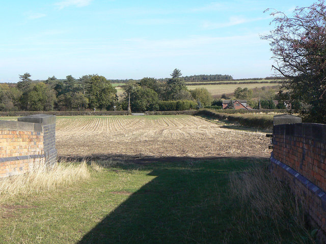
Taken from the bridge over the former Midland Railway line. Strictly the bridleway crosses the field direct to the gateway onto the A606, but common sense has prevailed and in practice a wide headland has been set aside alongside the hedge to the right. This hedge represents the boundary between Normanton and Stanton parishes.
 Map © Crown Copyright")
TIP: Click the map for more Large scale mapping
- Grid Square
- SK6331, 47 images (more nearby 🔍)
- Photographer
- Alan Murray-Rust (more nearby)
- Date Taken
- Thursday, 20 October, 2011 (more nearby)
- Submitted
- Monday, 24 October, 2011
- Subject Location
-
OSGB36:
 SK 6331 3179 [10m precision]
WGS84: 52:52.7915N 1:3.6419W - Camera Location
-
OSGB36: SK 6325 3173
- View Direction
- Northeast (about 45 degrees)