2011
TL3561 : Bridleway to Childerley Hall
taken 13 years ago, near to Knapwell, Cambridgeshire, England
This is 1 of 2 images, with title Bridleway to Childerley Hall in this square
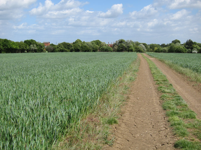
Bridleway to Childerley Hall
With the ground already cracked after a very dry spring.
 Map © Crown Copyright")
TIP: Click the map for more Large scale mapping
- Grid Square
- TL3561, 43 images (more nearby 🔍)
- Photographer
- Hugh Venables (more nearby)
- Date Taken
- Sunday, 22 May, 2011 (more nearby)
- Submitted
- Monday, 24 October, 2011
- Subject Location
-
OSGB36:
 TL 3533 6143 [10m precision]
WGS84: 52:14.0663N 0:1.1834W - Camera Location
-
OSGB36: TL 3528 6141
- View Direction
- East-northeast (about 67 degrees)