2011
SS9687 : Celtic Trail between Thomastown and Blackmill
taken 13 years ago, near to Glynogwr, Bridgend/Pen-y-Bont ar Ogwr, Wales
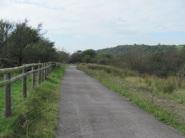
Celtic Trail between Thomastown and Blackmill
A pleasant section through Cwm Ogwr Fach utilising the disused railway.
 Map © Crown Copyright")
TIP: Click the map for more Large scale mapping
- Grid Square
- SS9687, 7 images (more nearby 🔍)
- Photographer
- John Light (more nearby)
- Date Taken
- Friday, 14 October, 2011 (more nearby)
- Submitted
- Wednesday, 26 October, 2011
- Subject Location
-
OSGB36:
 SS 9675 8704 [10m precision]
WGS84: 51:34.3645N 3:29.4745W - Camera Location
-
OSGB36: SS 96767 87045
- View Direction
- WEST (about 270 degrees)