2011
TQ0965 : Weybridge: Oatlands Chase
taken 12 years ago, near to Walton-on-Thames, Surrey, England
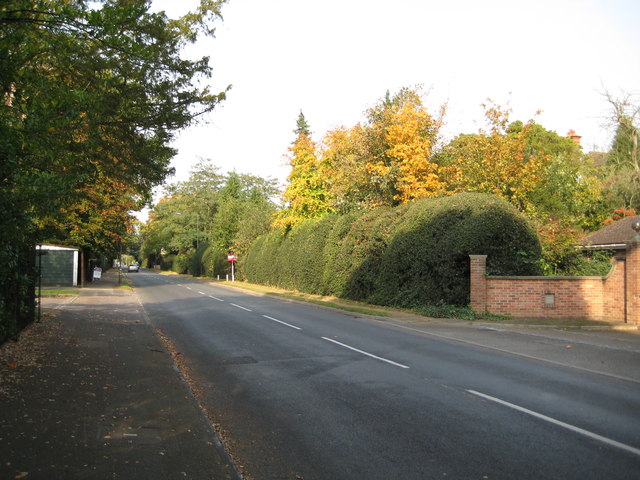
Weybridge: Oatlands Chase
Certainly up to 1896 Victorian Ordnance Survey maps show this thoroughfare as Station Road, leading, through woods on either side, to Walton-on-Thames railway station. By the time that the 1914 edition was published, and housing development along it had begun, it had acquired its present name.
 Map © Crown Copyright")
TIP: Click the map for more Large scale mapping
- Grid Square
- TQ0965, 14 images (more nearby 🔍)
- Photographer
- Nigel Cox (more nearby)
- Date Taken
- Sunday, 23 October, 2011 (more nearby)
- Submitted
- Saturday, 29 October, 2011
- Subject Location
-
OSGB36:
 TQ 0959 6504 [10m precision]
WGS84: 51:22.4310N 0:25.6150W - Camera Location
-
OSGB36: TQ 0961 6502
- View Direction
- Northwest (about 315 degrees)