2011
SW8244 : Open area between Lemon Quay and Back Quay
taken 12 years ago, near to Truro, Cornwall, England
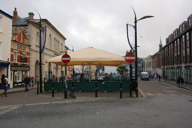
Open area between Lemon Quay and Back Quay
In the 1850s this area was the channel of the River Kenwyn which now flows underground. At that time there was a bridge here on which an OS cut mark benchmark was cut and levelled at 17.816 ft. above Ordnance Datum Liverpool. See Link for details.
 Map © Crown Copyright")
TIP: Click the map for more Large scale mapping
- Grid Square
- SW8244, 510 images (more nearby 🔍)
- Photographer
- Roger Templeman (more nearby)
- Date Taken
- Saturday, 12 November, 2011 (more nearby)
- Submitted
- Wednesday, 16 November, 2011
- Subject Location
-
OSGB36:
 SW 8263 4474 [10m precision]
WGS84: 50:15.7525N 5:3.0729W - Camera Location
-
OSGB36: SW 8263 4474
- View Direction
- East-southeast (about 112 degrees)