2011

TM2076 : Chickering Road

taken 12 years ago, near to Syleham, Suffolk, England

This is 1 of 2 images, with title Chickering Road in this square
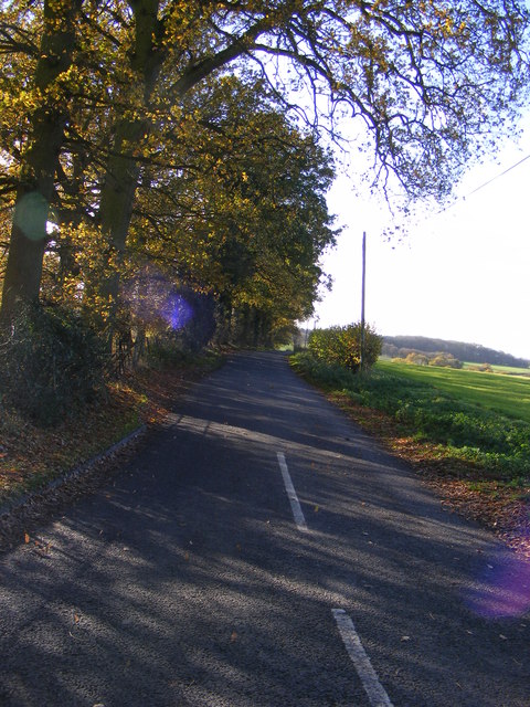
Chickering Road
Chickering Road
Looking towards Chickering Bridge at the junction with the B1118 Chickering Road

Creative Commons Licence [Some Rights Reserved]   © Copyright Geographer and licensed for reuse under this Creative Commons Licence.
Geographical Context: Roads, Road transport At: The Junction with the B1118 Chickering Road Looking Towards: Chickering Bridge other tags: B1118 Chickering Road Road Junction Chickering Road Chickering Bridge B1118 Click a tag, to view other nearby images.
This photo is linked from: Automatic Clusters: · B1118 Chickering Road [15] · Junction with the B1118 Chickering Road [9] · Chickering Bridge [4] Title Clusters: · Chickering Road [2] ·
1:50,000 Modern Day Landranger(TM) Map © Crown Copyright
+
1:50,000 Modern Day Landranger(TM) Map © Crown Copyright
TIP: Click the map for more Large scale mapping
Grid Square
TM2076, 37 images   (more nearby 🔍)
Photographer
Geographer   (more nearby)
Date Taken
Friday, 25 November, 2011   (more nearby)
Submitted
Sunday, 27 November, 2011
Subject Location
OSGB36: geotagged! TM 2075 7628 [10m precision]
WGS84: 52:20.4089N 1:14.3456E
Camera Location
OSGB36: geotagged! TM 2075 7628
View Direction
Southwest (about 225 degrees)
Clickable map
+
NW N NE
W Go E
SW S SE
Image classification(about): Geograph
This page has been viewed about 21 times
You are not logged in login | register