SD7506 : Wellfield House, Nob End
taken 12 years ago, near to Little Lever, Bolton, England
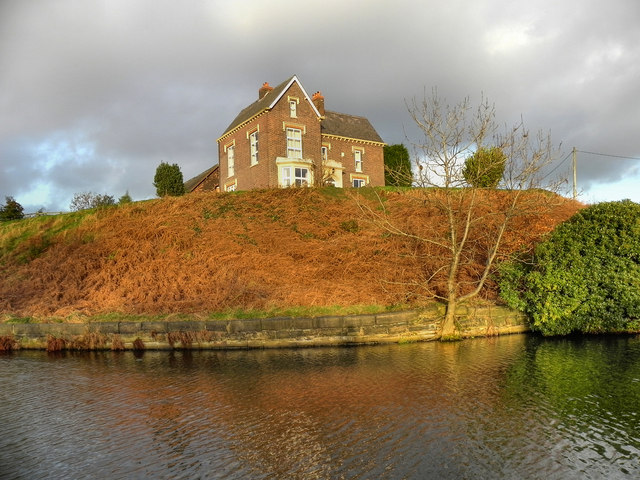
The canal here has clear water and is of good depth, despite disuse from 1924 and the legal abandonment of this part of the canal in 1941.
The Manchester Bolton & Bury Canal is a disused canal, built to link Bolton and Bury with Manchester. The canal, when fully completed in 1796, was 15 miles long. It was connected with the River Irwell in Salford, in 1808.
From Salford the canal ran up the Irwell valley to reach Nob End, where it climbed the Prestolee Locks, and then split into two branches leading to Bolton and Bury. The canal was built principally to serve the many collieries in the area, as well as to transport other cargo such as stone and timber.
By 1846 a parallel railway had been built to Bury, and the canal went into decline. The Bolton arm went out of use in 1924, though with some minor use until 1947. The Bury arm was breached just above Nob End in 1936, but the then isolated Bury arm continued to be used until 1951, principally between the canalside Ladyshore Colliery and Bury. The final section of the canal was officially closed in 1961, and much of it was filled in.
.
LinkExploring Greater Manchester, a fieldwork guide (web edition); edited by Paul Hindle, Manchester Geographical Society
Link
Link
Link
 Map © Crown Copyright")
- Grid Square
- SD7506, 222 images (more nearby 🔍)
- Photographer
- David Dixon (more nearby)
- Date Taken
- Sunday, 27 November, 2011 (more nearby)
- Submitted
- Monday, 28 November, 2011
- Subject Location
-
OSGB36:
 SD 7513 0650 [10m precision]
WGS84: 53:33.2719N 2:22.6123W - Camera Location
-
OSGB36: SD 7510 0645
- View Direction
- North-northeast (about 22 degrees)