2011
SK6117 : Earthworks on the edge of Seagrave
taken 12 years ago, near to Seagrave, Leicestershire, England
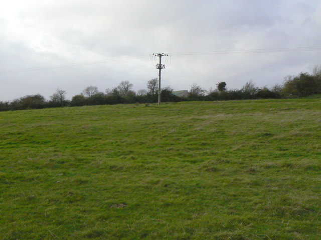
Earthworks on the edge of Seagrave
A complex of earthworks to the south east of the current village marks the site of abandoned medieval village development with definable house plots and hollow ways.
 Map © Crown Copyright")
TIP: Click the map for more Large scale mapping
- Grid Square
- SK6117, 87 images (more nearby 🔍)
- Photographer
- Alan Murray-Rust (more nearby)
- Date Taken
- Friday, 25 November, 2011 (more nearby)
- Submitted
- Monday, 28 November, 2011
- Subject Location
-
OSGB36:
 SK 6183 1737 [10m precision]
WGS84: 52:45.0251N 1:5.1247W - Camera Location
-
OSGB36: SK 6193 1729
- View Direction
- Northwest (about 315 degrees)