2011
TM2045 : A1214 Woodbridge Road
taken 12 years ago, near to Rushmere st Andrew, Suffolk, England
This is 1 of 4 images, with title A1214 Woodbridge Road in this square
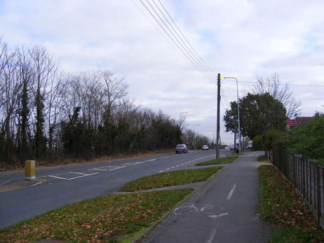
A1214 Woodbridge Road
Looking towards Woodbridge at the junction with Holly Road
 Map © Crown Copyright")
TIP: Click the map for more Large scale mapping
- Grid Square
- TM2045, 82 images (more nearby 🔍)
- Photographer
- Geographer (more nearby)
- Date Taken
- Monday, 28 November, 2011 (more nearby)
- Submitted
- Wednesday, 30 November, 2011
- Subject Location
-
OSGB36:
 TM 2059 4546 [10m precision]
WGS84: 52:3.8141N 1:13.0016E - Camera Location
-
OSGB36: TM 2059 4546
- View Direction
- East-northeast (about 67 degrees)