2011
TQ0152 : Footbridge, Wey Navigation
taken 13 years ago, near to Burpham, Surrey, England
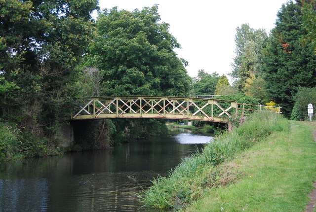
Footbridge, Wey Navigation
The Wey Navigation opened in 1653 and was one of the first British rivers to be made navigable. In 1764 the Godalming Navigation opened, creating a 20-mile waterway running from the Thames at Weybridge to Godalming - now the southern-most part of the inland waterway network.
Originally the Wey Navigations were used for transporting barge loads of heavy goods via the Thames to London. Timber, coal, corn, flour, wood and even gunpowder were regularly moved up and down the waterway.
Later in 1796 the Basingstoke Canal was dug and connected to the Wey and in 1816 the Wey and Arun Junction Canal was opened, connecting with the Wey at Stonebridge.
For an interactive map see Link
See other images of Wey Navigations
 Map © Crown Copyright")
TIP: Click the map for more Large scale mapping
- Grid Square
- TQ0152, 156 images (more nearby 🔍)
- Photographer
- N Chadwick (more nearby)
- Date Taken
- Saturday, 9 July, 2011 (more nearby)
- Submitted
- Friday, 2 December, 2011
- Subject Location
-
OSGB36:
 TQ 0103 5272 [10m precision]
WGS84: 51:15.8816N 0:33.2005W - Camera Location
-
OSGB36: TQ 0101 5269
- View Direction
- Northeast (about 45 degrees)