2011
NH7169 : Pipelines, Invergordon
taken 13 years ago, near to Saltburn, Highland, Scotland
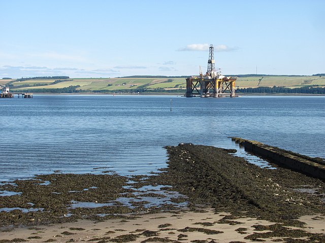
Pipelines, Invergordon
A pair of pipes running into the Cromarty Firth.
 Map © Crown Copyright")
TIP: Click the map for more Large scale mapping
- Grid Square
- NH7169, 20 images (more nearby 🔍)
- Photographer
- Richard Webb (more nearby)
- Date Taken
- Friday, 29 July, 2011 (more nearby)
- Submitted
- Tuesday, 6 December, 2011
- Subject Location
-
OSGB36:
 NH 7176 6903 [10m precision]
WGS84: 57:41.5651N 4:9.1780W - Camera Location
-
OSGB36: NH 7173 6905
- View Direction
- Southeast (about 135 degrees)