2011
NZ2512 : Farmland, Cleasby
taken 12 years ago, near to Cleasby, North Yorkshire, England
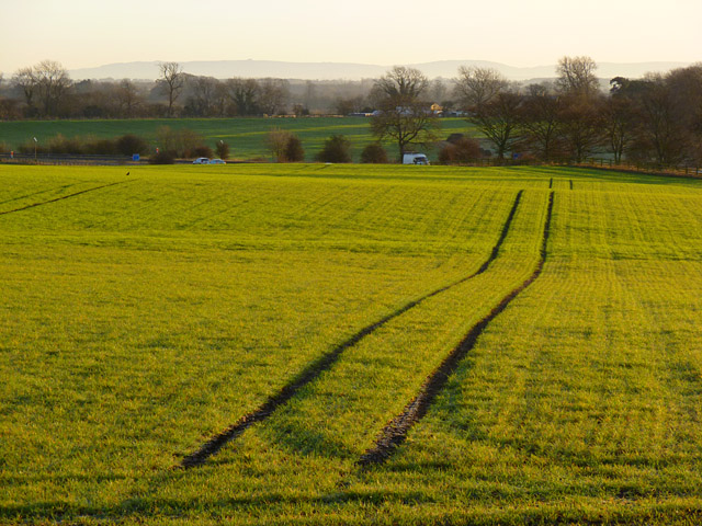
Farmland, Cleasby
A cereal crop with vehicles passing on the A66(M) and the Cleveland Hills in the background.
 Map © Crown Copyright")
TIP: Click the map for more Large scale mapping
- Grid Square
- NZ2512, 15 images (more nearby 🔍)
- Photographer
- Andrew Smith (more nearby)
- Date Taken
- Friday, 2 December, 2011 (more nearby)
- Submitted
- Tuesday, 6 December, 2011
- Subject Location
-
OSGB36:
 NZ 2523 1219 [10m precision]
WGS84: 54:30.2643N 1:36.7138W - Camera Location
-
OSGB36: NZ 2509 1219
- View Direction
- EAST (about 90 degrees)