2011
SZ4976 : The "Lost Road", Blackgang
taken 12 years ago, near to Blackgang, Isle of Wight, England
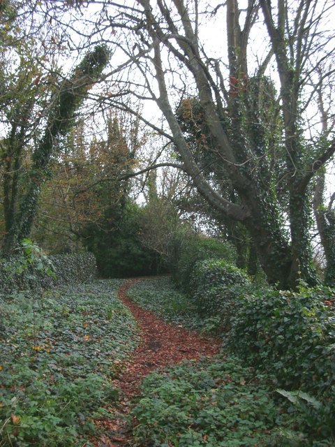
The "Lost Road", Blackgang
This is a view of the "lost road", a section of the now-overgrown road at the foot of Gore Cliff that formerly connected Blackgang and Niton. Now this section is cut off at both ends by landslips caused by soft clay underlying the harder strata of the cliff.
 Map © Crown Copyright")
TIP: Click the map for more Large scale mapping
- Grid Square
- SZ4976, 74 images (more nearby 🔍)
- Photographer
- Ray Girvan (more nearby)
- Date Taken
- Saturday, 29 October, 2011 (more nearby)
- Submitted
- Thursday, 8 December, 2011
- Subject Location
-
OSGB36:
 SZ 4909 7618 [10m precision]
WGS84: 50:34.9980N 1:18.4787W - Camera Location
-
OSGB36: SZ 4908 7619
- View Direction
- East-southeast (about 112 degrees)