2011
SD9187 : View south down Crag Side Road
taken 13 years ago, near to Countersett, North Yorkshire, England
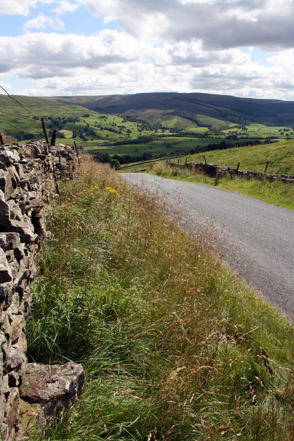
View south down Crag Side Road
The protruding stone at the base of the wall has an OS benchmark SD9187 : Benchmark on stone at base of Crag Side Road wall on its top surface
 Map © Crown Copyright")
TIP: Click the map for more Large scale mapping
- Grid Square
- SD9187, 68 images (more nearby 🔍)
- Photographer
- Roger Templeman (more nearby)
- Date Taken
- Tuesday, 9 August, 2011 (more nearby)
- Submitted
- Sunday, 11 December, 2011
- Subject Location
-
OSGB36:
 SD 9122 8794 [10m precision]
WGS84: 54:17.2208N 2:8.1823W - Camera Location
-
OSGB36: SD 9122 8794
- View Direction
- SOUTH (about 180 degrees)