2011
SK6023 : Allotments on East Road
taken 12 years ago, near to Wymeswold, Leicestershire, England
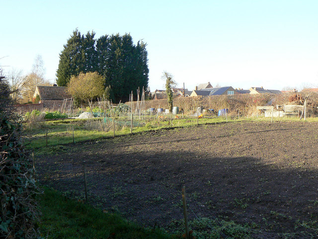
Allotments on East Road
A small patch of allotments which appear on maps from the late 19th century. They may represent gardens associated with specific houses in the village which had no garden attached.
 Map © Crown Copyright")
TIP: Click the map for more Large scale mapping
- Grid Square
- SK6023, 188 images (more nearby 🔍)
- Photographer
- Alan Murray-Rust (more nearby)
- Date Taken
- Monday, 12 December, 2011 (more nearby)
- Submitted
- Sunday, 18 December, 2011
- Subject Location
-
OSGB36:
 SK 6058 2357 [10m precision]
WGS84: 52:48.3773N 1:6.1670W - Camera Location
-
OSGB36: SK 6061 2356
- View Direction
- West-northwest (about 292 degrees)