2011
NJ9429 : Formartine and Buchan Way
taken 13 years ago, near to Esslemont, Aberdeenshire, Scotland
Formartine and Buchan Way
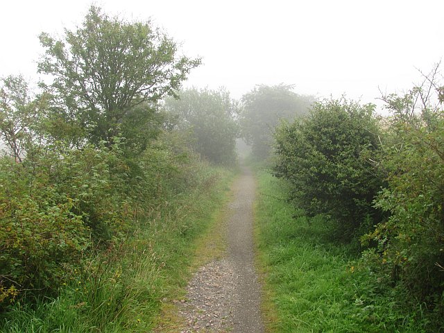
An embankment, south of the Ellon Viaduct.
The Formartine and Buchan Railway is now a 80km path between Fraserburgh, Peterhead and Aberdeen. The railway closed in 1979 and was last used as part of the North Sea oil development, moving material up to Fraserburgh.
The Formartine and Buchan Railway is now a 80km path between Fraserburgh, Peterhead and Aberdeen. The railway closed in 1979 and was last used as part of the North Sea oil development, moving material up to Fraserburgh.
 Map © Crown Copyright")
TIP: Click the map for more Large scale mapping
- Grid Square
- NJ9429, 7 images (more nearby 🔍)
- Photographer
- Richard Webb (more nearby)
- Date Taken
- Thursday, 4 August, 2011 (more nearby)
- Submitted
- Sunday, 18 December, 2011
- Subject Location
-
OSGB36:
 NJ 9413 2967 [10m precision]
WGS84: 57:21.4486N 2:5.9526W - Camera Location
-
OSGB36: NJ 9409 2960
- View Direction
- North-northeast (about 22 degrees)