2011
SD7013 : Diverging lanes at Horrocks Fold
taken 12 years ago, near to Toppings, Bolton, England
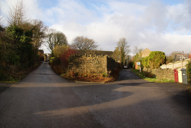
Diverging lanes at Horrocks Fold
Each gives access to houses in the hamlet, and each also leads to a different footpath.
 Map © Crown Copyright")
TIP: Click the map for more Large scale mapping
- Grid Square
- SD7013, 45 images (more nearby 🔍)
- Photographer
- Bill Boaden (more nearby)
- Date Taken
- Wednesday, 28 December, 2011 (more nearby)
- Submitted
- Sunday, 1 January, 2012
- Subject Location
-
OSGB36:
 SD 7039 1309 [10m precision]
WGS84: 53:36.8109N 2:26.9427W - Camera Location
-
OSGB36: SD 7042 1310
- View Direction
- WEST (about 270 degrees)