2012
SD3736 : Main Dyke near Crossings Wood
taken 12 years ago, near to Weeton, Lancashire, England
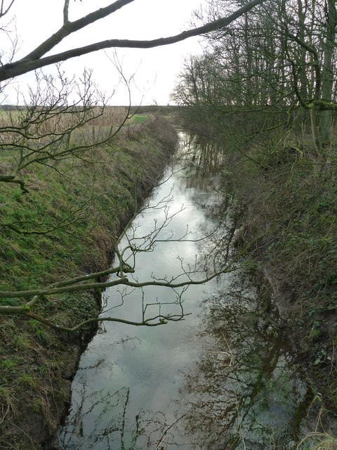
Main Dyke near Crossings Wood
 Map © Crown Copyright")
TIP: Click the map for more Large scale mapping
- Grid Square
- SD3736, 11 images (more nearby 🔍)
- Photographer
- Peter Bond (more nearby)
- Date Taken
- Monday, 9 January, 2012 (more nearby)
- Submitted
- Monday, 9 January, 2012
- Subject Location
-
OSGB36:
 SD 3720 3619 [10m precision]
WGS84: 53:49.0906N 2:57.3222W - Camera Location
-
OSGB36: SD 3722 3629
- View Direction
- South-southwest (about 202 degrees)