2012
ST2694 : SW end of Ty Canol Way, Cwmbran
taken 12 years ago, near to Henllys, Torfaen/Tor-Faen, Wales
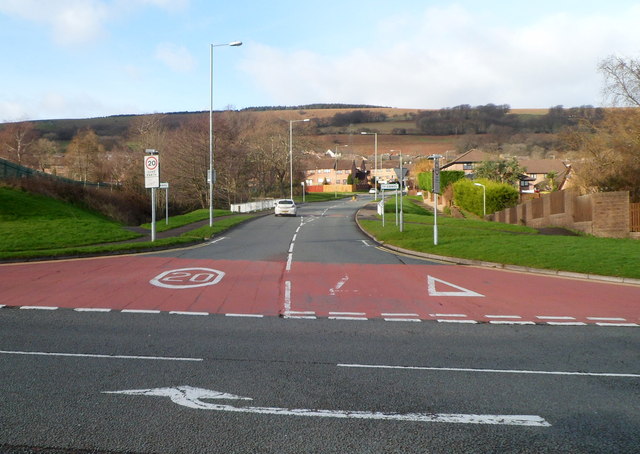
SW end of Ty Canol Way, Cwmbran
Viewed across Henllys Way. The boundary sign for Ty Canol (a district of Cwmbran) is on the right, about 20 metres from the junction.
 Map © Crown Copyright")
TIP: Click the map for more Large scale mapping
- Grid Square
- ST2694, 74 images (more nearby 🔍)
- Photographer
- Jaggery (more nearby)
- Date Taken
- Saturday, 7 January, 2012 (more nearby)
- Submitted
- Tuesday, 10 January, 2012
- Subject Location
-
OSGB36:
 ST 269 942 [100m precision]
WGS84: 51:38.5098N 3:3.4670W - Camera Location
-
OSGB36: ST 270 942
- View Direction
- Northwest (about 315 degrees)