2011
TR1457 : New Housing, Canterbury
taken 13 years ago, near to Canterbury, Kent, England
This is 1 of 6 images, with title starting with New in this square
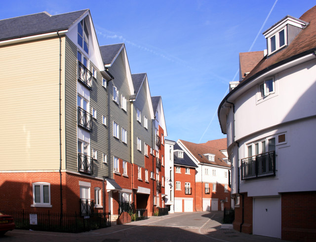
New Housing, Canterbury
A whole new neighbourhood has been created to the west of the city centre between the Great Stour and the by-pass.
A lot of design variation and a non linear street plan has been used to avoid a "new estate" look.
A lot of design variation and a non linear street plan has been used to avoid a "new estate" look.
 Map © Crown Copyright")
TIP: Click the map for more Large scale mapping
- Grid Square
- TR1457, 1817 images (more nearby 🔍)
- Photographer
- Des Blenkinsopp (more nearby)
- Date Taken
- Sunday, 28 August, 2011 (more nearby)
- Submitted
- Tuesday, 10 January, 2012
- Subject Location
-
OSGB36:
 TR 1446 5773 [10m precision]
WGS84: 51:16.6999N 1:4.4152E - Camera Location
-
OSGB36: TR 1448 5775
- View Direction
- Southwest (about 225 degrees)