2012
SE2599 : Pasture, Bolton-on-Swale
taken 12 years ago, near to Bolton-on-Swale, North Yorkshire, England
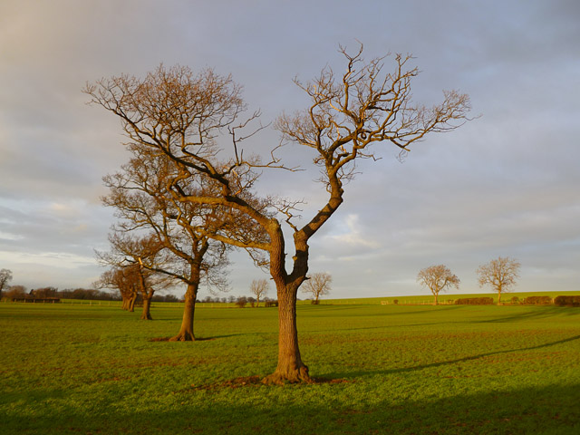
Pasture, Bolton-on-Swale
A line of trees presumably marks a former field boundary to the east of the village.
 Map © Crown Copyright")
TIP: Click the map for more Large scale mapping
- Grid Square
- SE2599, 38 images (more nearby 🔍)
- Photographer
- Andrew Smith (more nearby)
- Date Taken
- Friday, 6 January, 2012 (more nearby)
- Submitted
- Tuesday, 10 January, 2012
- Subject Location
-
OSGB36:
 SE 2572 9936 [10m precision]
WGS84: 54:23.3448N 1:36.3264W - Camera Location
-
OSGB36: SE 2575 9927
- View Direction
- North-northwest (about 337 degrees)