2011
SP1045 : Field edge path
taken 13 years ago, near to Bretforton, Worcestershire, England
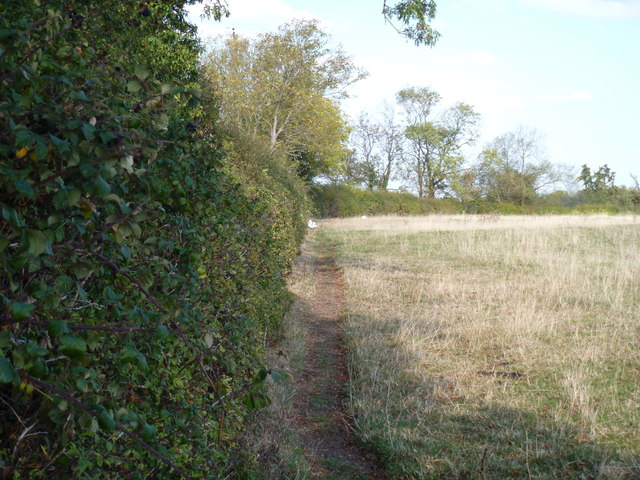
Field edge path
The footpath follows the field edge as it heads north towards Ullington.
 Map © Crown Copyright")
TIP: Click the map for more Large scale mapping
- Grid Square
- SP1045, 31 images (more nearby 🔍)
- Photographer
- Michael Dibb (more nearby)
- Date Taken
- Saturday, 15 October, 2011 (more nearby)
- Submitted
- Wednesday, 11 January, 2012
- Subject Location
-
OSGB36:
 SP 1057 4592 [10m precision]
WGS84: 52:6.6904N 1:50.8240W - Camera Location
-
OSGB36: SP 1056 4589
- View Direction
- North-northeast (about 22 degrees)