2011
TQ7177 : Gate on Cliffe Marshes
taken 12 years ago, 3 km from Cliffe, Medway, England
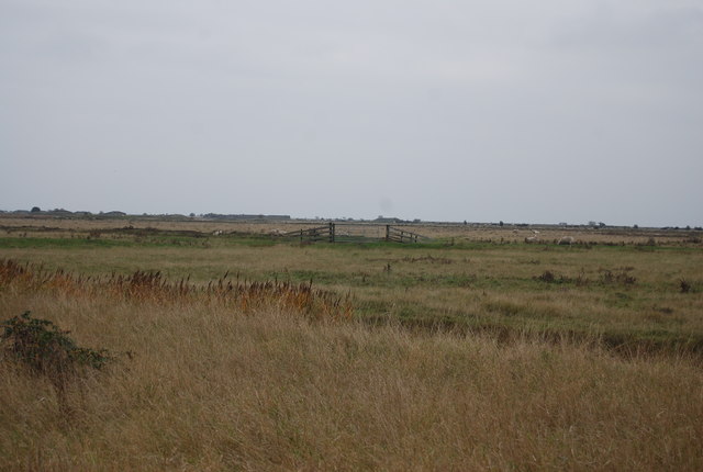
Gate on Cliffe Marshes
Cliffe Marshes cover over 500ha north of the village of Cliffe on the Hoo peninsula. Most of the area is drained by channels and is given over to wet grassland grazing. Cooling Marshes and Halstow Marshes can be included in Cliffe Marshes. In 2002 they were identified as a possible site for London's third airport, but dropped in 2003. Much of the area is an environmentally sensitive area.
See other images of Cliffe Marshes
See other images of Cliffe Marshes
 Map © Crown Copyright")
TIP: Click the map for more Large scale mapping
- Grid Square
- TQ7177, 95 images (more nearby 🔍)
- Photographer
- N Chadwick (more nearby)
- Date Taken
- Sunday, 6 November, 2011 (more nearby)
- Submitted
- Wednesday, 11 January, 2012
- Subject Location
-
OSGB36:
 TQ 7125 7799 [10m precision]
WGS84: 51:28.4972N 0:27.8689E - Camera Location
-
OSGB36: TQ 7115 7796
- View Direction
- East-northeast (about 67 degrees)