2012
NX3359 : Track
taken 12 years ago, near to Kirkcowan, Dumfries And Galloway, Scotland
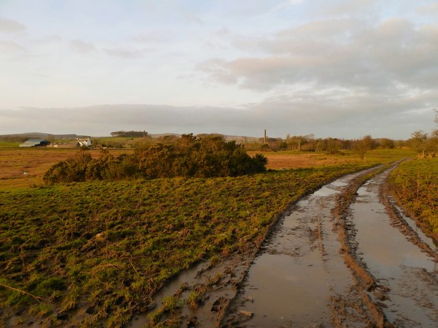
Track
View along this track which runs down to Kirkcowan in this direction, left of picture on the horizon is West Crosherie Farm.
 Map © Crown Copyright")
TIP: Click the map for more Large scale mapping
- Grid Square
- NX3359, 15 images (more nearby 🔍)
- Photographer
- Andy Farrington (more nearby)
- Date Taken
- Thursday, 12 January, 2012 (more nearby)
- Submitted
- Thursday, 12 January, 2012
- Subject Location
-
OSGB36:
 NX 3333 5991 [10m precision]
WGS84: 54:54.3611N 4:36.0709W - Camera Location
-
OSGB36: NX 3332 5984
- View Direction
- NORTH (about 0 degrees)