2012
SU5851 : Path to Worting Road
taken 12 years ago, near to Wootton st Lawrence, Hampshire, England
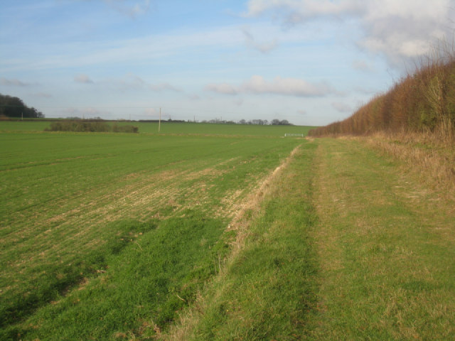
Path to Worting Road
Running along the eastern edge of Mothers East field.
 Map © Crown Copyright")
TIP: Click the map for more Large scale mapping
- Grid Square
- SU5851, 668 images (more nearby 🔍)
- Photographer
- Mr Ignavy (more nearby)
- Date Taken
- Friday, 13 January, 2012 (more nearby)
- Submitted
- Friday, 13 January, 2012
- Subject Location
-
OSGB36:
 SU 5899 5159 [10m precision]
WGS84: 51:15.6256N 1:9.3590W - Camera Location
-
OSGB36: SU 5899 5150
- View Direction
- NORTH (about 0 degrees)